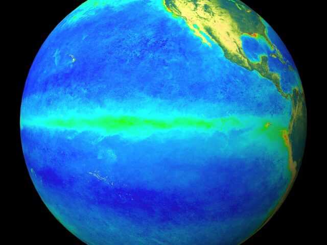
MELBOURNE, Australia – A weak La Niña continues in the Pacific Ocean, but may have peaked in recent weeks, reports the ENSO Wrap-Up from the Australian Government Bureau of Meteorology.
Sea surface temperatures in the central tropical Pacific have warmed slightly since late December, with most models now forecasting that La Niña will end in the southern autumn.
Indicators of the El Niño–Southern Oscillation (ENSO) continue to reflect La Niña. Sea surface temperatures show a weak La Niña pattern, with the coolest waters concentrated in the eastern Pacific Ocean.
Likewise, atmospheric indicators such as trade winds and cloudiness show clear La Niña characteristics. The Southern Oscillation Index (SOI) is also at La Niña levels, though has fluctuated during the summer season due to the passage of tropical weather systems.
In order for 2017–18 to be classed as a La Niña year, thresholds need to be exceeded for at least three months.
Five of the eight climate models surveyed by the Bureau suggest this event is likely to last through the southern summer, and decay in the early southern autumn of 2018.
With indicators hovering near thresholds since December, it remains to be seen if 2017–18 will be classed as an official La Niña year.
La Niña typically brings above average rainfall to eastern Australia during summer, particularly in northern New South Wales and Queensland. However, a weak La Niña will often have less influence on Australian rainfall compared to a strong event.
La Niña events can also increase the likelihood of prolonged warm spells for southeast Australia.
The Indian Ocean Dipole (IOD) is currently neutral. IOD events are unable to form between December and April.


