MELBOURNE, Australia – The Bureau of Meteorology of the Australian Government continues to routinely report on the major climate influences on Australia’s weather. The influence of drivers such as El Niño and the Indian Ocean Dipole tend to be weaker over the summer months.
As has been reported throughout 2023, the model-based long-range forecast of rainfall and temperature provides the best guidance of likely conditions for the months ahead. Long-range forecast guidance will be updated on Thursday 21 December.
The long-range forecast for Australia for January indicates an increased chance of above median rainfall for parts of Queensland, NSW and Victoria, and more neutral rainfall chances across much of the country. Chances favour drier than average conditions for western parts of WA and the Top End of the NT.
The long-range forecasts increase the chances of drier conditions across many parts of Australia for February and March, but chances are more neutral across the three months for regions that typically experience easterly flow during this time.
Warmer days and nights are very likely for almost all of Australia with unusually warm daytime and night time temperatures at least 2 times more likely than usual.
The Bureau’s climate model accounts for all oceanic and atmospheric influences on Australia’s climate when generating its forecasts, as well as the influence of climate change.
Current state of climate drivers:
- The Southern Annular Mode (SAM) is likely to remain positive for at least the next two to three weeks. During summer, a positive SAM historically increases the chance of above average rainfall for parts of eastern NSW, south-eastern Queensland, eastern Victoria, and north-east Tasmania, but increases the chance of below average rainfall for western Tasmania. Rainfall increases are due to the positive SAM shifting westerly winds further south, increasing onshore flow over south-east Australia.
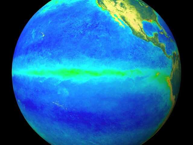
- The El Niño event continues in the tropical Pacific – the typical drying influence of El Niño on Australia’s climate usually reduces during summer, especially in the east. As we have seen this year and in the historical data, high-impact rainfall events can occur during El Niño years, particularly during October to April when severe storm frequency peaks, even when the season is dry overall.
- A positive Indian Ocean Dipole (IOD) event remains active, but is weakening steadily. IOD events typically breakdown as the monsoon trough shifts south into the southern hemisphere, typically at the end of spring. Given the current strength of this event, the breakdown this year has been later than usual. Model forecasts suggest the positive IOD is likely to continue to ease over the coming weeks, with the majority indicating the IOD index will fall below +0.4 °C in January.
- The Madden–Julian Oscillation (MJO) is currently over the western Pacific. International climate models suggest it will move eastwards across the western Pacific over the coming days and weaken, potentially re-strengthening over the Western Hemisphere and Africa after a week. While the MJO maintains its strength over the western Pacific, it increases the chance of above average rainfall over northern Australia. However, in the western hemisphere and Africa region, the MJO typically decreases the chance of above average rainfall.
- Global warming – global sea surface temperatures (SSTs) were highest on record for their respective months during April to November. Forecast unusually warm sea surface temperatures (SSTs) in the Tasman Sea may also be contributing to a chance of above median summer rainfall over parts of Australia.
Australia’s climate has warmed by 1.48 ± 0.23 °C since national records began in 1910. There has been an increase in extreme heat and fire weather associated with the warming. There has also been a trend towards a greater proportion of rainfall from high intensity, short duration rainfall events, especially across northern Australia.


